


Monday 29 April 2013
| Distance (km) | 19 kms | |||
| Distance (time) | 5 hrs | |||
| Hard / Soft surface | 40% / 60% | |||
| Landscape |
|
|||
| Weather |
|
|||
|
|
||||
|
When waking up in the morning the rain gushes down and we look at each other wondering what kind of hiking day it'll be today. The weather forecast, however, claims it will clear up around noon so we can only count on that. We leave home a bit later and while at the bus stop at 11:30 the hail stones still hit the street. During the bus ride to Brielle it stops raining and once in Brielle we actually see blue skies in the west.
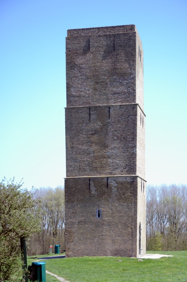
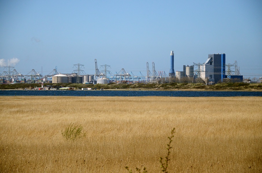
The route loops through Brielle and we leave the town on the north side passing behind the last residential area over the Oosterlandsedijk. At the end of this dike we can choose: follow the cycle path in between the trees of follow the dike around the tries. The dike is nicer for the feet, but the cycle path is more sheltered. So we opt for sheltered and have a good laugh about it: we have complained about tarmac cycle paths so far and when having the choice....we choose again the tarmac. But in the end the dike and cycle path join again and we have full head wind all the way until the Steenenbaak, a 17th century lighthouse used to guide ships to what was then the Maas estuar. Due to the cold the snot is hanging down from our ears by now so we decided to have a coffee in the local restaurant. One might wonder how much clients a remote restaurant has on a day like today because apart from some teenagers sharing a chips there is nobody there. Fortunately this is also the end of the very open section of the route because from here we have some woods and dunes passing the camping(s) of Kruiningergors. We pass underneath the N218 main road and even before entering the village of Oostvoorne we have to turn right onto another.....cycle path. Again a very straight section with a lot of wind. The views on the Oostvoorne lake with the industry in the background is beautiful not at least because the sky is very clear. After passing an hotel the GR5 enters the dunes and from now on we walk over sheltered trails. We pass the Tenella pond that we can't really see and then the Bredewater pond that we dó see. The latter pond would have been hard to miss anyway because way before we can see it we hear the quacking of the ducks. From here on the route passes along the edge of the dunes and though that is beautiful, it's also very wet. The trails is muddy up to and over the ankles and at a certain point the path just disappears into a canal. Some logs have been thrown into the water to allow crossing but basically there is no way to get across without having your shoes full of water. And so we return a bit until the last side trail heading east and take that trail for a few 100 metres until we reach a fence. On the other side of the fence it's muddy again and we tiptoe over some logs while clinging on trees to get across and enter an open patch in the dunes. Since we're walking east for a while now we take the first track going south again. The path is dry in spite of passing in between some ponds and we're heading in the right direction. Even better: after a km or so we join the GR5 again before entering the village of Rockanje. More or less the first crossing in the village has our bus stop in front of the Bad Hotel. From here we have a direct bus back to Spijkenisse. |
   |
|||
|
|
||||
Download track BriRoc.gpx