


Monday 2 August 2021
| Distance (km) | 15 kms | |||
| Distance (time) | 6.5 hrs | |||
| Climb / Descent | 620m / 1200m | |||
| Hard / Soft surface | 10% / 90% | |||
| Landscape |
|
|||
| Weather |
|
|||
|
|
||||
|
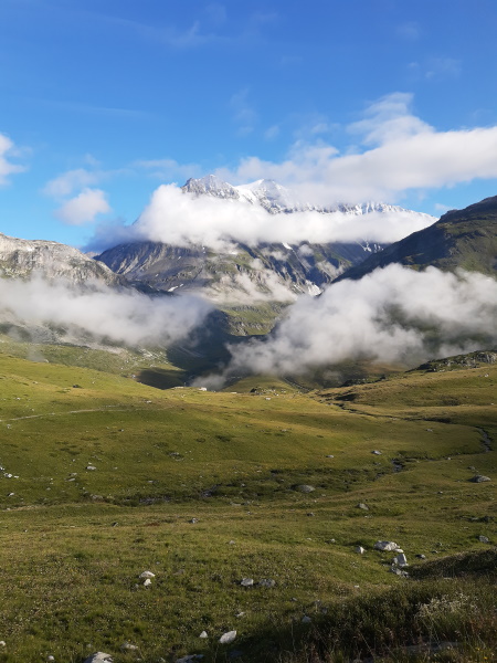
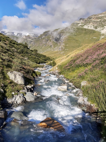
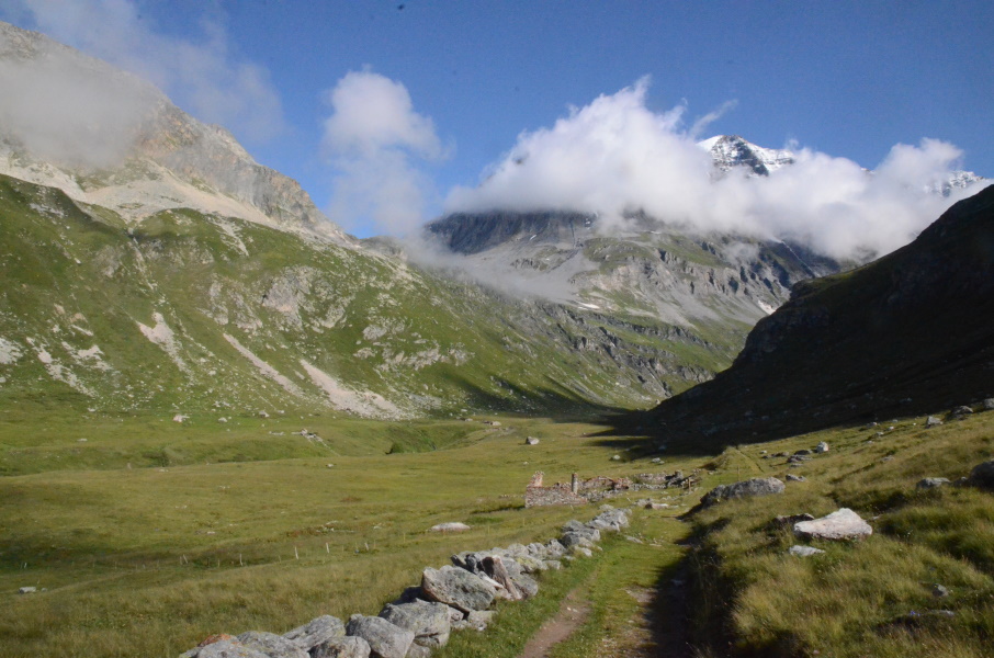
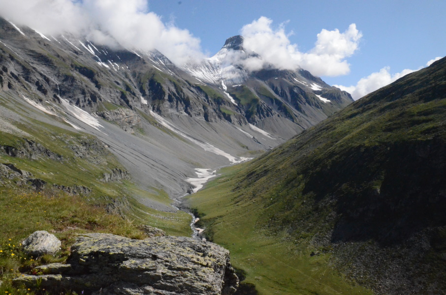
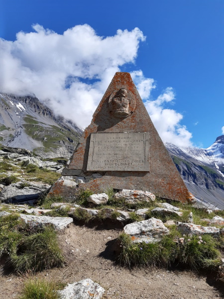
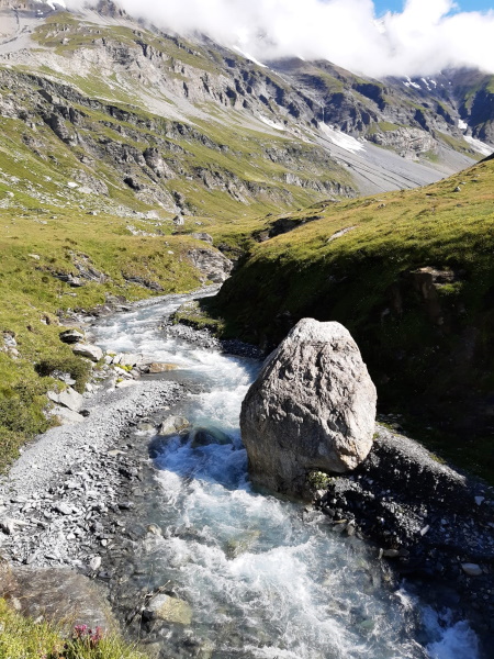
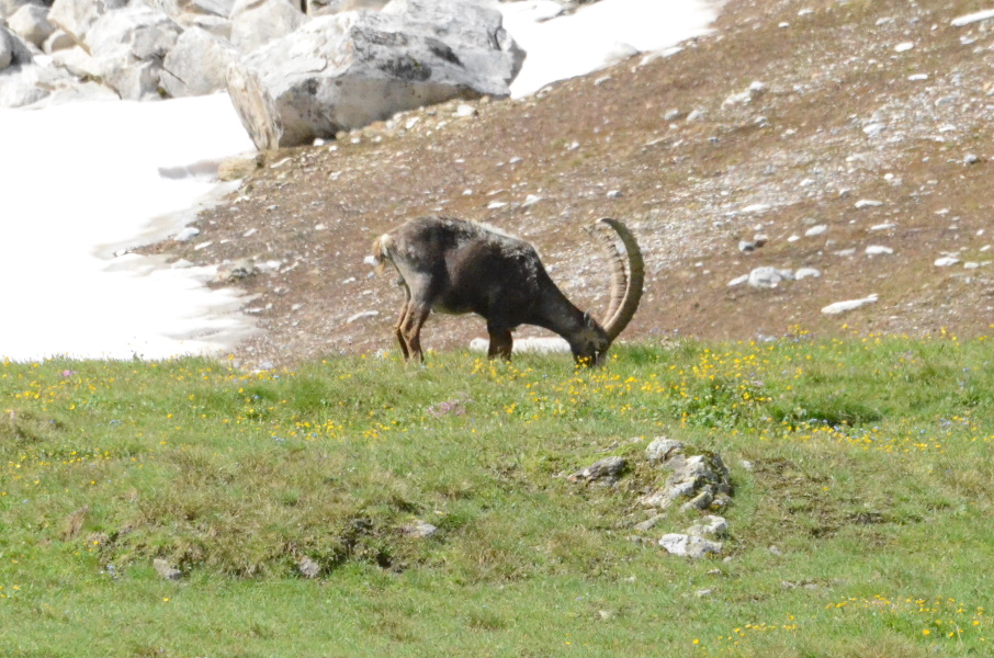
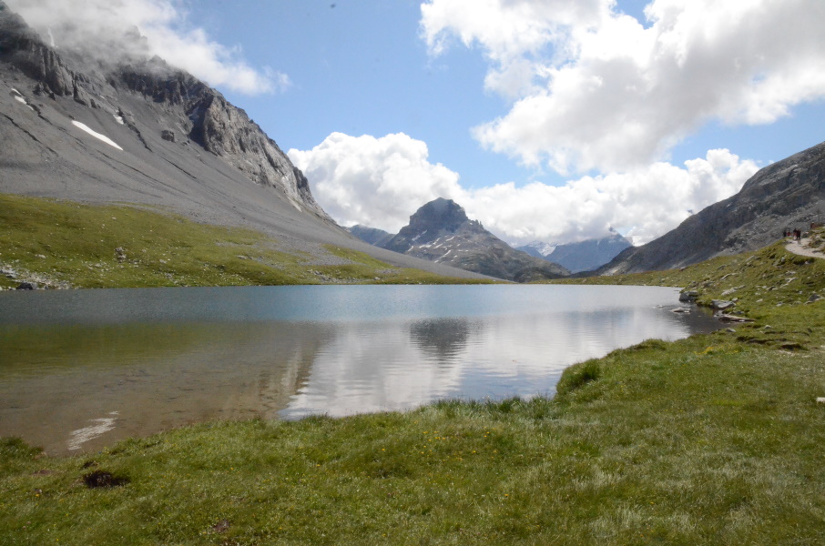
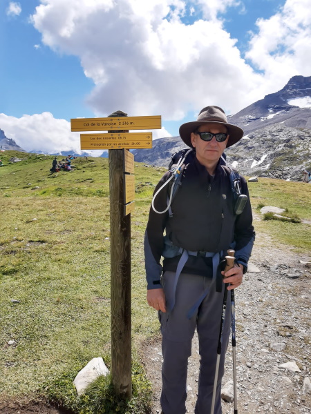
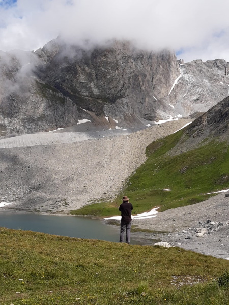
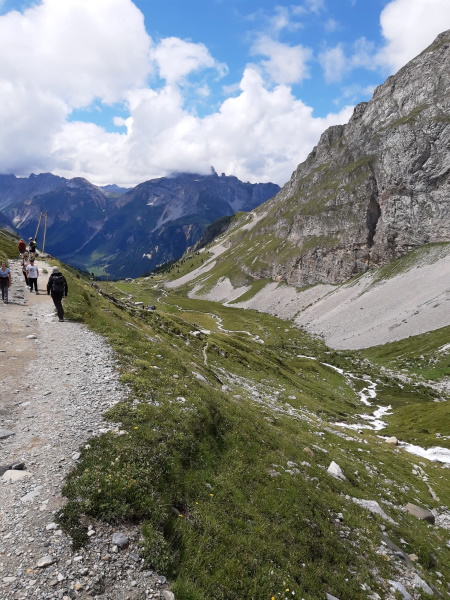
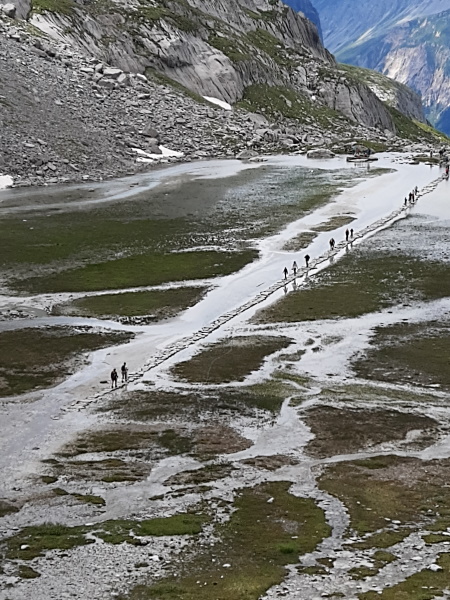
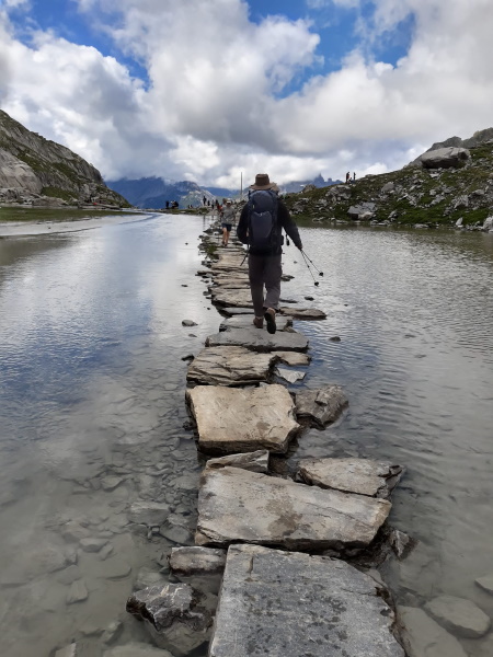
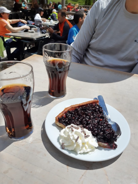
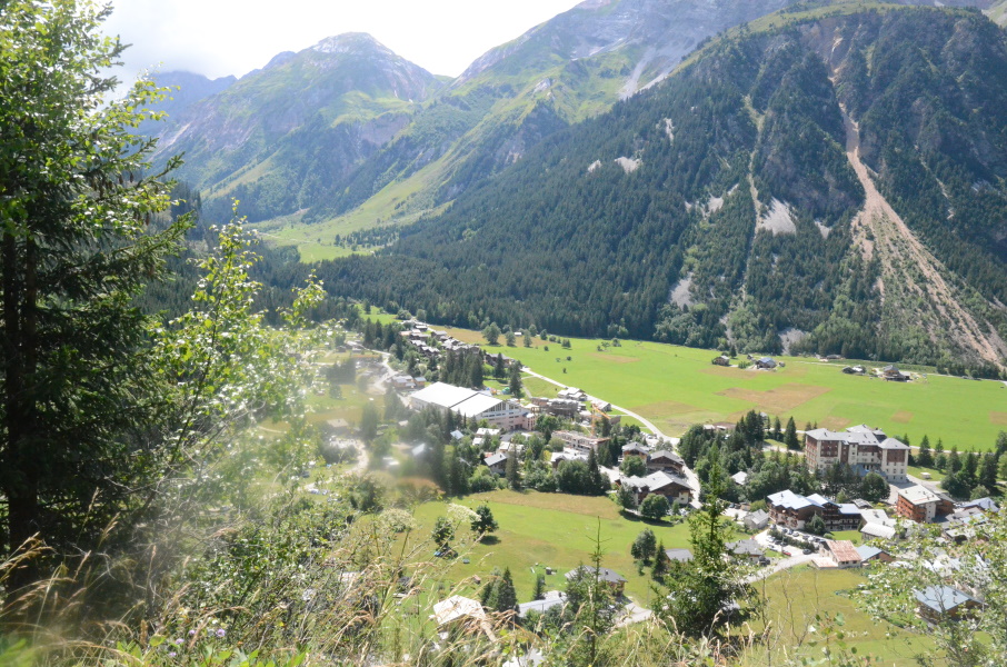
The slip on the snow field did have more consequences than we thought and the next days we have some rest as Lupita's foot is sensitive. On Sunday it wasn't any weather for walking anyway as the rain came bucketing down the entire day. My ankle is actually slightly in pain as well; in the last bit of the last stage I made a funny movement when I stepped half on a stone and during Friday I was feeling my ankle more and more when making certain movements. So in that aspect some rest is not that bad. But now it's Monday morning and we decide to walk on. First we take the 7:55am bus back up to Entre Deux Eaux and from there walk passed the refuge to the GR55. The bus drive is beautiful when we climb in between the clouds going up. At just before 9am we step out of the bus and start the first small climb to the refuge. The wet part back to the Croé-Vie bridge didn't improve with yesterday's rain, but is still passable. And so we're back on the GR55 at 10am. From here it goes straight up, well, with hairpins actually. But this first piece of about 1 hour walking just goes up the slope of the Réchasse mountain and in this 1 hour we gain 70-80% of the total altitude we have to gain today. From all people getting of the bus we were the last ones to start the climb, but apparently we're not such bad climbers because one by one we pass them again. At the memorial monument for 2 military engineers that died here in duty the climb easens somewhat and arriving at the old bunker a bit further the climb almost flattens. From here we will follow the Vanoise stream upstream. It's hard to imagine that from here it is still a 1 hour walk to the pass since we only have to gain 100 more meters in altitude. But it's a long valley and it really is 1 hour walking. At the Lac du Col de la Vanoise it is a bit busy with people and we see the reason why: left of the path there is a sole capricorn and everyone wants to take a picture. We have been walking around for a while with a heavy DSLR camera and matching 300mm lens and now we know why. Put it together, zoom in on the capricorn and it works out pretty fine on the photo. From here it's another short climb to Lac Rond (a far nicer lake than the previous) and then it continues to climb to the pass. There are more and more walkers on the trail now and at the pass it is stunningly busy: there are at least a few hundred people walking, sitting, eating there and from the path that gives access from the other side (hence from Pralognan) there is a constant flow of people arriving at the pass. What is going on here? We have a short stop to eat something and start our descent. The track is wide on this side, but it's a parade of people climbing and descending like it is some kind of pilgrimage. That doesn't have to be a problem if people behave a bit, but of course that is not the case. The path is wide enough to pass, but not if small groups walk side by side with 2 or 3. Or if they see people they know and start a group conversation on the path. And then there are people that try to let their very young children walk up (or down) this path..... we see a 2-3 year old boy that clearly fell from the abrasion wounds on his leg being terribly sworn at by his mother saying that he should stop crying as it's his own fault he fell. It makes you wonder if there is a law somewhere allowing me to toss her over the edge. But then the boy doesn't have a mother at all anymore...hmm, maybe not the best solution. At refuge Les Bramettes most people take the skilift to the parking of Les Fontanettes and we decide to hit the terrace for a drink and a piece of pie to leave behind the annoyancies of the descent. From here to Les Fontanettes it is a lot quieter and from there to Pralognan is actually very quiet. We reach Pralognan before we know it...the descent was really not that bad. Or maybe we're just getting good at descending. In Pralognan we arranged a hotel so that we didn't have to carry sleeping bags and a tent and so. By pure coincidence we discovered that Stefan, a friend from my university years, is also in Pralognan this week. He lives in France and decide to come here for the week to do a bit of climbing. And so we agree to go for dinner together tonight....and we also arrange something else: transport. According to the weather forecast tomorrow it will rain starting from 3pm or so. We made a reservartion for the 4:40pm shuttle from Polset to Modane (in order to split the long descent from Col de Chavière to Modane in two parts), but it would be nice to reach Polset when it's still dry. But that would require a very early leave unless we can start a bit higher up in the valley....in Les Prioux for instance, that would save us 1.5 hours. But the first free shuttle bus to Les Prioux leaves Pralognan at 8:30am and so the gain is then undone. We convince Stefan to bring us to Les Prioux at 7am, that should bring us to Polset before the rain starts. |
                 |
|||
|
|
||||
Download track EauPra.gpx