


Sunday 4 May 2014
| Distance (km) | 16 kms | |||
| Distance (time) | 4 hrs | |||
| Hard / Soft surface | 90% / 10% | |||
| Landscape |
|
|||
| Weather |
|
|||
|
|
||||
|
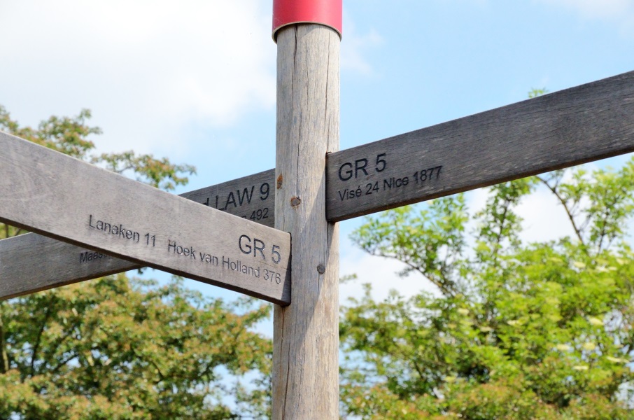
Isn't it great waking up with the sounds of the birds and the sun on the tent. We don't have to get up very early because the but to Lanaken only goes once per 2 hours and we had already decided that the 8:44 bus is too early for a Sunday morning. So the 10:44 bus it'll be. We pack at ease and enjoy breakfast with omelet and coffee in the sun. Ok, reality check, we're here to walk! So at 10:00 we leave the camping site to Bosschepoort: a residential area on the north side of Maastricht. It took a while to puzzle out that from at the bus stop there passes the Flemish bus 45 from Maastricht station to Hasselt while on the other hand the Dutch bus from Kanne has its terminus there. The ideal place to park the car. We have to wait 10 minutes for the bus that brings us in another 10 minutes in Lanaken at the Cultural Centre.
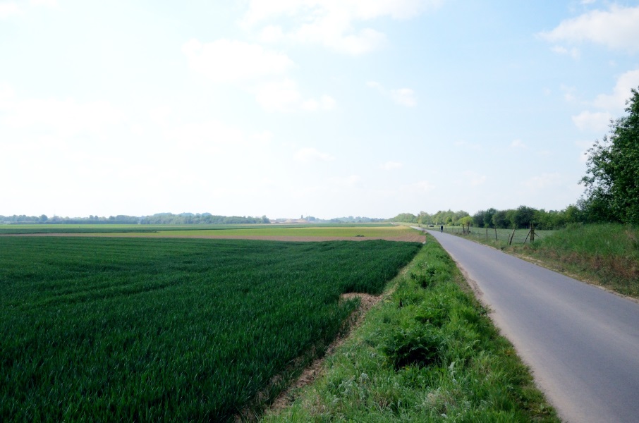
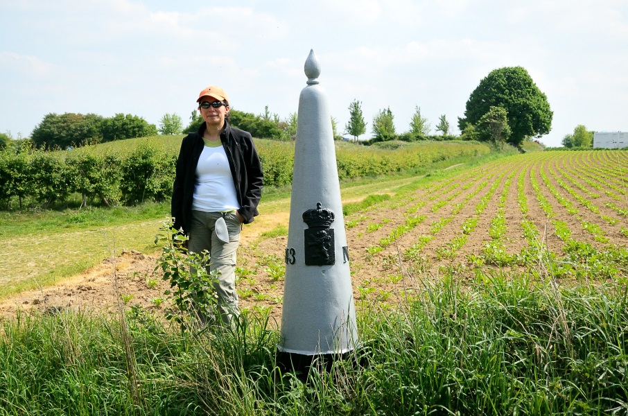
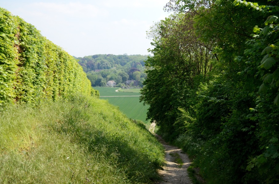
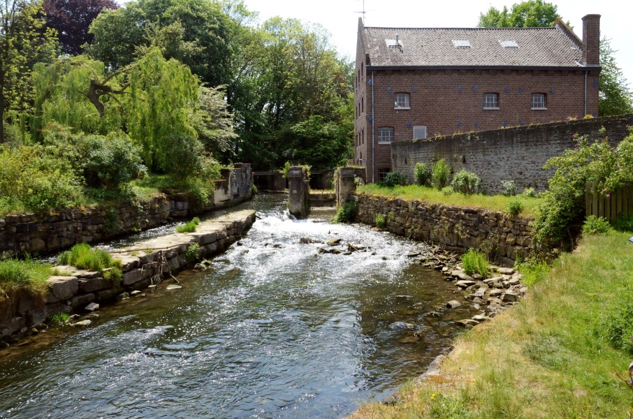
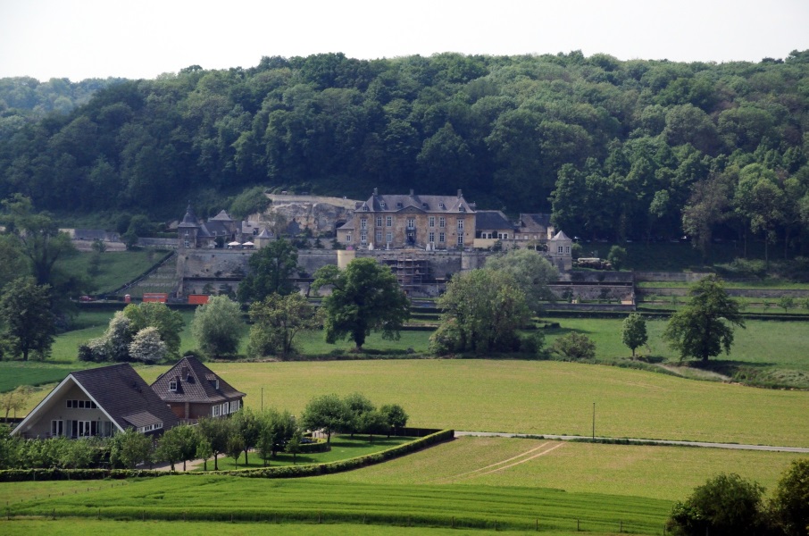
The route followes the cycle path over the canal Briegden-Neerharen and then turns right onto a concrete road along the canal. Several groups of cyclists pass us at high speed but the road is fortunately rather wide. We pass some industry and where the fields start the wide concrete road turns into a narrow tarmac road. Most cyclists keep right here downto the tow path along the canal while the GR5 stays higher up above the canal. It doesn't make much difference: both the upper road and the tow path are hard sealed. Probably we have the better views and in the end it is not that bad: open fields to the left with views to Maastricht and very little traffic. The road undulates a bit and we walk nicely in the sun until the bridge of Veldwezelt. We have a short break at the war memorial for 3 English pilotes that were shot down here in May 1940 before we move on following a nice lane with trees on either side. We pass the golf course and up a little hill but in the shadow of the trees. We even spot an old border sign from 1843, so The Netherlands is literally within reach on our left hand side. We now arrive at the Vroenhoven bridge, a very nice bridge indeed and impressively high. We keep going straight ahead but our quiet little road is now a seriously busy road to Kanne. We have the possibility to walk over the cycle path but that is rather narrow and also busy. It's only for a few 100 meters until we have to turn left, really entering The Netherlands. We're now walking in the hills of South Limburg, finally. After all those weekends through the flat Netherlands and Flandres the landscape changes (ok, we had some hills close to Diest, but this is different stuff). We pass through a tiny tip of Maastricht and turn right going up over the first hill. Switching back to lower (walking) gear we of course easily make it to the top. The highest point is also the first winery of our walk to the Mediterranean: the Apostelhoeve. Unfortunately a visit is not an option: they appear to be closed and we still have some kilometers to go.. We now have to steeply descent to the Jeker valley, but just look at the view! Down in the valley we pass the Hoeve Nekum, another well-known winery in this area. We cross the Jeker and walk uphill again to the Pietersberg. First a wide lane, then a narrow track. In the end it can't be that far to the highest point but if feels good to have some climbing. At the top a group of ladies is having champagne: they just finished the Pieter trail that crosses the Netherlands north to south and ends here at the Pietersberg. We just take a picture of the GR5 sign when a man and his little daugher with a pull wagon arrive. They also just finished the Pieter trail and want to be on a picture with the sign. We talk for a while but then we really have to go because they may have their end point here, we still have 5 kms to go to Kanne. We also look over the highest point to the other side of the Pietersberg where the ENCI (a major Dutch cement company) has been excavating the hill for many years. It is horrible: where we walk on the idyllic side of the hill the other side is just a big open mine where the hill is literally gone completely. After having seen this, we enjoy the little nature that remains here even more while passing through some woods winding over the hill. We see another border stone and we're back in Belgium. This was really "goodbye The Netherlands"....1 country that we completely passed trough now. There are more and more walkers on the path but close to an unused large farmhouse most of them go straight ahead while we turn right. And so it's quiet again. We descent to a crossing and we can see already the village of Kanne. Actually we can see the gravel road going there but the route turns to the left here to make an extra loop. No idea why we have to walk an extra 200m but if we have to walk it we will walk it. We end up at the Albert canal and enter Kanne. For sure the tarmac hurts the fee! We pass over the Jeker again and then we've done it: we finished the first section of the GR5, the Low Lands Section. We have a look around, and well, hmm, that's it. We look for the bus stop at the central Statieplein and that is more or less around the corner. We have 45 minutes before the bus arrive, enough time to enjoy a salmon sandwich and an ice tea. We also notice now we got quite some sun burn in spite of using sun screen. It was a great day and what's left is the bus back to the car, and driving 2 hours to get home. |
      |
|||
|
|
||||
Download track LanKan.gpx