


Monday 3 August 2015
| Distance (km) | 23 kms | |||
| Distance (time) | 5 hrs | |||
| Climb / Descent | 440m / 417m | |||
| Hard / Soft surface | 50% / 50% | |||
| Landscape |
|
|||
| Weather |
|
|||
|
|
||||
|
After a smoking hot Sunday when we were surrounded by barbecuing day trippers we will walk again on Monday. Public transport here in Lorraine is not that easy and so we have to get up early to have the only decent connection to Pompey. We leave the camping site at 6:30 in the morning and park the car in front of the grocery store in Brin-sur-Seille just before 7 o'clock. Bus R350 to Nancy is perfectly on time and for 5 euros we go to Nancy where we arrive half an hour later. Unfortunately the end point of the bus is not the railway station, but a tram stop called Division de Fer from where we take tram 1 to the railway station. It all just fits: step out of the bus, buy a ticket from the ticket machine and the tram already arrives. Only 4 stops later wer are at the railway station where we buy train tickets to Pompey. But we have no idea what trains to Metz actually stop in Pompey so we check with the information desk. The 7:55 train....and so we are at 8:15 at the station of Pompey. I just have to put some tape on my fee and off we go.
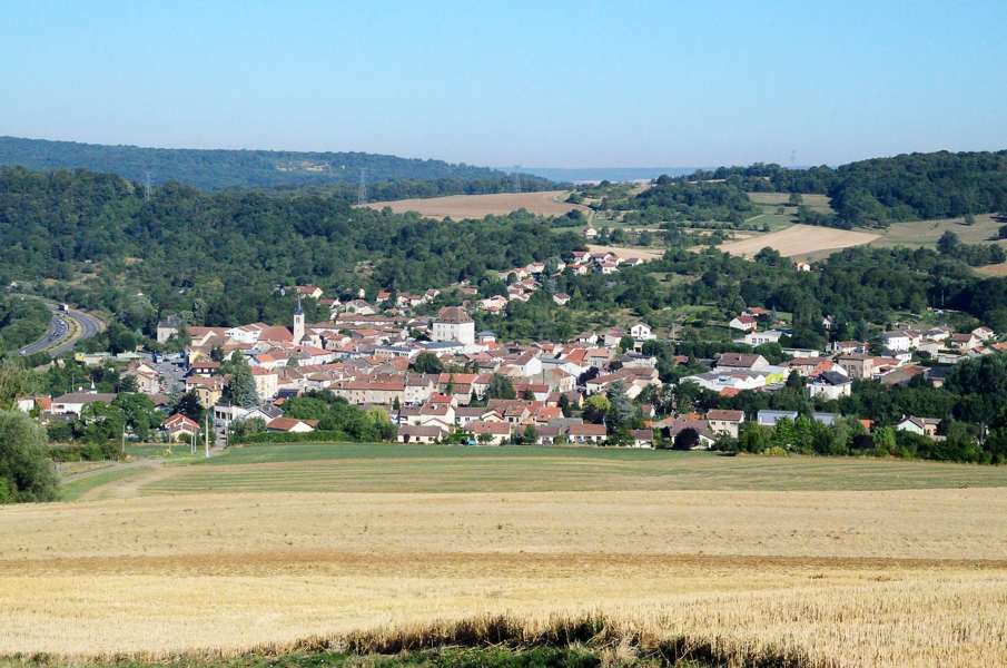
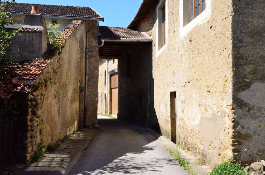
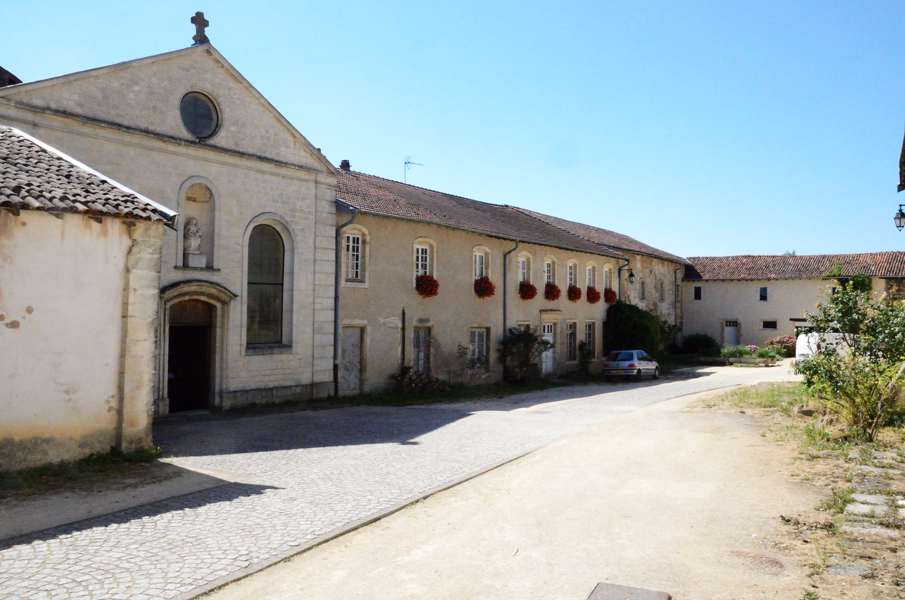
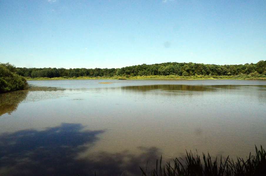
The first part is simply walking back to the GR5. It's less far than last Saturday but still just over a kilometer. Back on the GR5 we cross the main road and walk over a concrete sidewalk along the secondary main road through a slighly saddening industrial area towards Custines. We cross the train, the motorway and the Moselle to get to the village. Well, actually we hardly get into the village because the route only passes through a tip of the build up area and immediately takes a field track steeply up. This sweating squared: it is only just after 9 o'clock but with the sun on our heads, no wind and high humidity this climb is really tough. We are happy to reach the forest just to find out the track keeps climbing here. Then finally it gets flatter and we have a long nice part in the forest over a gravel road that, or so we have heard, was constructed in the 1st world war as connecting road behind the front line. We do quite a distance on this road until we suddenly have to turn right onto a narrow path with grass up to our knees. We zigzag through the forest and reach the edge of the fields. We now still have trees on our left and thus some shadow, but soon enough we have fields on either side and the sun on our heads again. The track rapidly descends to Blanzey, the last part through the forest again. In Blanzey we visit an old roman chapel very nicely situated in something that is in between a group of walled in houses and a large courtyard. After this short cultural stop we continue to Moulin. It is time for a break to eat a bit and according to the guide Moulin has a fountain so that could make an interesting place to stop. But no, the fountains is not much more than a small water tank with a whole of wasps and so lunch will have to wait a while. We leave Moulin again and reach the main road that we carefully cross. On the other side it climbs like a rocket up the Côte de Amance. Maybe up there in the village we can sit? The climb is steep, hot and longer than expected. At the first houses of Amance there is nothing while the road keeps climbing through the village. Next to the church we find a bench underneath a large chestnut tree, in the shadow and with a great panorama. Time for lunch and time to take the shoes off to let the socks dry a bit. Actually after Amance the route is not that difficult. The road gently descends to the Brin forest and then goes pretty flat through it. We pass the Brin lake and slowly leave the forest again. The last part through the fields is sweaty again but then we're back at the car. For the last hour we have been craving for a cold drink at the grocery store but once back at the car the grocery is closed until 15:00. It's 14:45 now so we can hold on craving for another 15 minutes.....to have an ice cold coke before driving back to the camping site. |
    |
|||
|
|
||||
Download track PomBri.gpx