


Friday 7 August 2015
| Distance (km) | 23 kms | |||
| Distance (time) | 5.5 hrs | |||
| Climb / Descent | 240m / 200m | |||
| Hard / Soft surface | 55% / 45% | |||
| Landscape |
|
|||
| Weather |
|
|||
|
|
||||
|
As if yesterday wasn't warm enough it is supposed to be slighty warmer today. So preferably we would leave very early, but unfortunately it is not possible to get breakfast any earlier than 7 o'clock. And since there is nothing with any services between Tarquimpol and Gondrexange we really need the breakfast. So breakfast at 7 it is, which in the end is a bit later and by the time we leave it is close to 8.
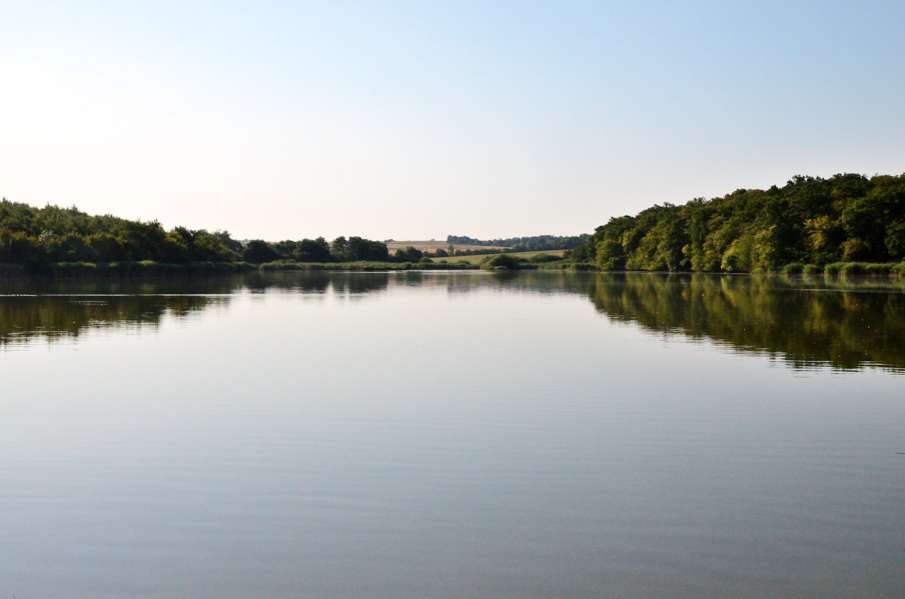
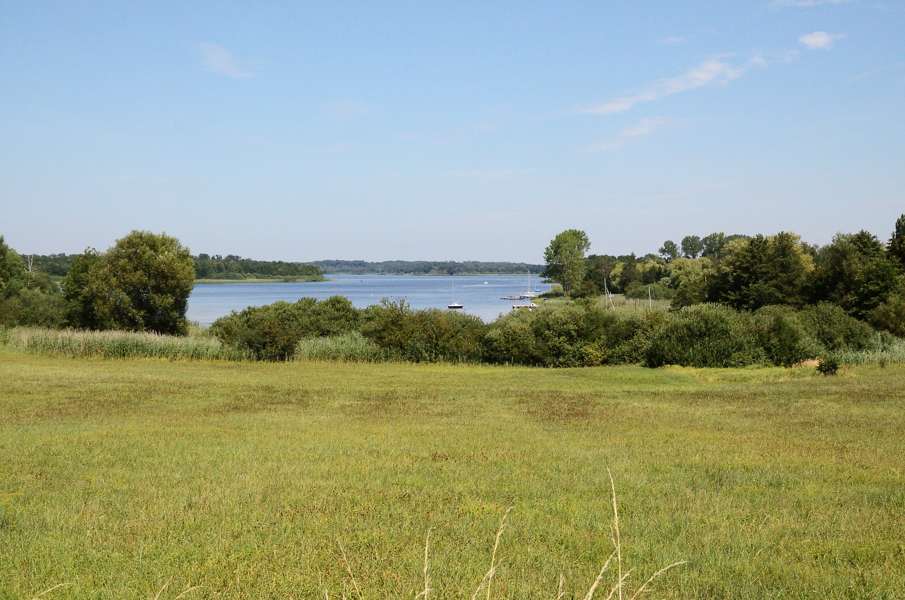
According to the map we should simply continue on the tarmac road to Assenoncourt, but there is a change of route leading us over non-paved tracks around the village. Fine with us, and well signposted this time! After the village we enter the forest over a rather wide track with quite some shadow and that is good because it is not even halfway the morning yet and the temperature is already close to 30 degrees centrigrade. In the forest we suddenly have to turn right onto something that hardly looks like a track. It's more an open patch with knee high grass but since there is some sort of flattend track in the grass we guess it is ok. That feeling lasts about 50m until we reach a tree that we have to climb over, and then another tree, and a pile of dead wood. It is very hard to progress here and a path or at least some kind of rubble free passage cannot be found. Somewhere on a tree on our left we think we see a very faded white/red mark but actually we can hardly imagine this is the right way to go. However, according to the map we should leave the forest towards the west-southwest and according to the GPS we are heading that way. Nevertheless it takes a lot of time, effort and searching to get across all fallen trees and branches until suddenly a track forms again and we leave the forest. And there we find a GR5 sign again, so we are on the right track! From here to Fribourg is only a short hop and in Fribourg we decide to have a short break seated on the stairs of the church. We have a bite and a sip and again we dry the feet and socks. There is nothing in Fribourg and so we walk on after 10-15 minutes. From here a paves section starts: first up through Fribourg and out of the village and then a while after the highest point to the right onto a gravel road. This gravel road is clearly the local shortcut because a couple of times a car passes with high speed leaving us behind in a cloud of dust. We pass behind Les Bachats, a luxury residential area that is part of Rhodes, and cross in the forest 2 branches of the Étang du Stock. However, in contradiction to what the map says we do not stay straight ahead on the Tranchée des Bachats gravel road, but turn right onto the Tranchée des Brainches and further on left onto the Tranchée de Diane-Capelle. These are all gravel roads. Eventually we leave the forest again and after a short climb passing a small gipsy camp at the left we arrive at the bridge over the Houillères de la Sarre canal. Directly after crossing the canal we have to turn left and down in order to follow the canal to Gondrexange. The first part on this cycle path (where in 6 kms we have not seen any cyclist, but considering the temperature that is not such a surprise) there is still some shadow but after we passed underneath the D955 the path is mostly in the sun. On the right we have the Gondrexange reservoir but due to the high embankment in between the canal and the lake we cannot see it. A bit further we even have the lake on both sides of the canal, and on both sides we only only see the embankment. Where the canal ends at the Marne-Rhine canal we have to get to the other side of the canal using a steel pedestrian overpass. The railing of bridge is very hot and impossible to grab, so we stumble clumsily up and down. At the upcoming tree we take a break because Lupita really can't handle the heat. After 10 minutes or so she's recovering and we walk the last hot kilometers to Gondrexange. We parked the car at the camping site where the tourist info is as well. And where they sell cold soda and ice cream. So we first pour in a cold can of whatever and then we eat an ice cream. Now can can move on again. That is, by car back to Vic where we sleep one more night before moving our base camp to Abreschviller. |
  |
|||
|
|
||||
Download track TarGon.gpx