


Monday 29 July 2019
| Distance (km) | 24 kms | |||
| Distance (time) | 8.5 hrs | |||
| Climb / Descent | 1015m / 606m | |||
| Hard / Soft surface | 40% / 60% | |||
| Landscape |
|
|||
| Weather |
|
|||
|
|
||||
|
A new year, a new start. Now the GR5 will become serious stuff with the crossing of the Alps. Since we're still trying to walk as much as possible without our backpacks we decided to set up base camp in Ch%acirc;tel, close to the Swiss border. From here there are good bus and skilift connections to the whole area.
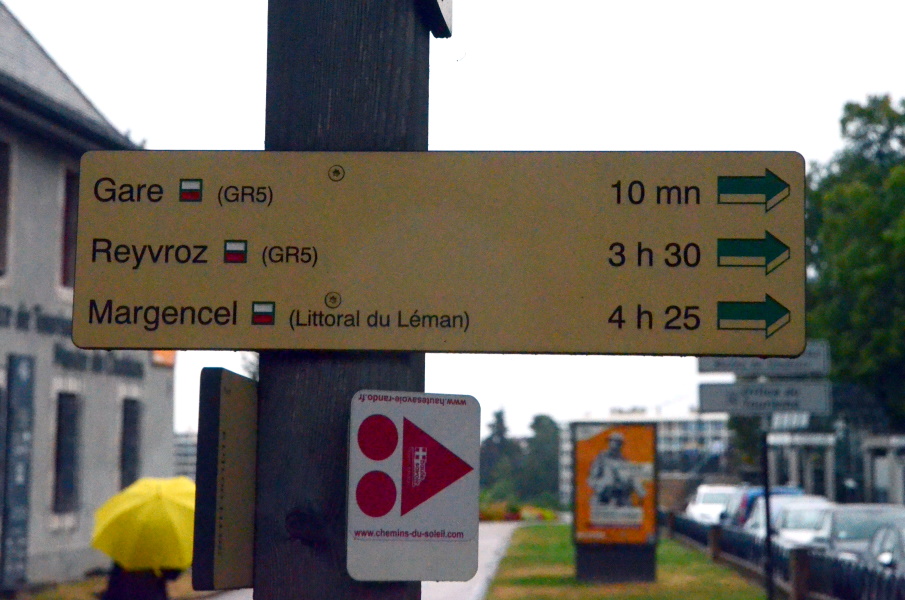
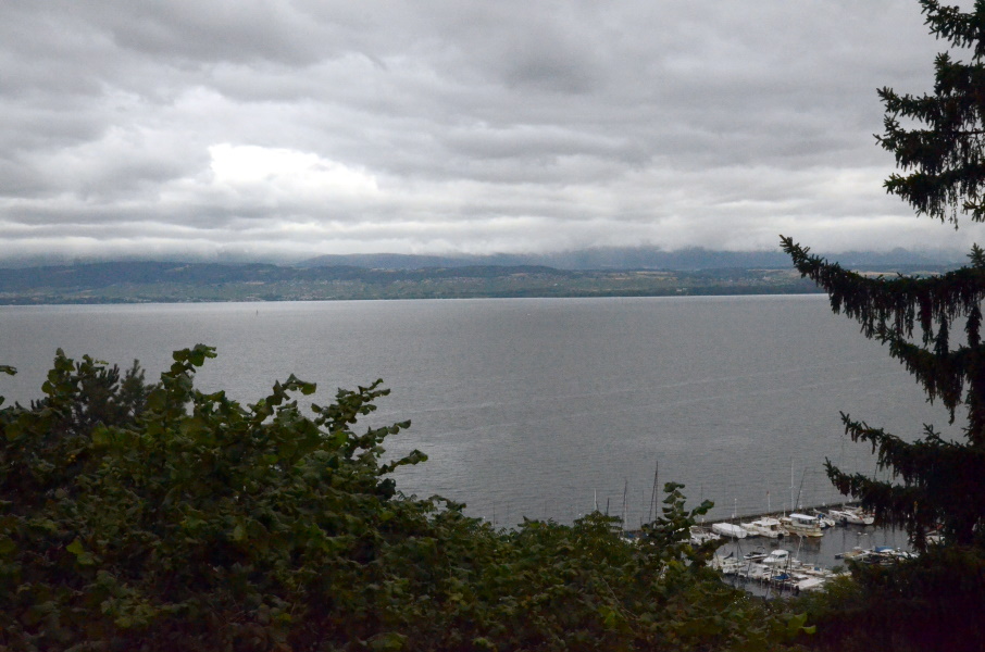
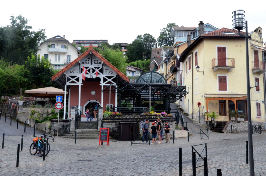
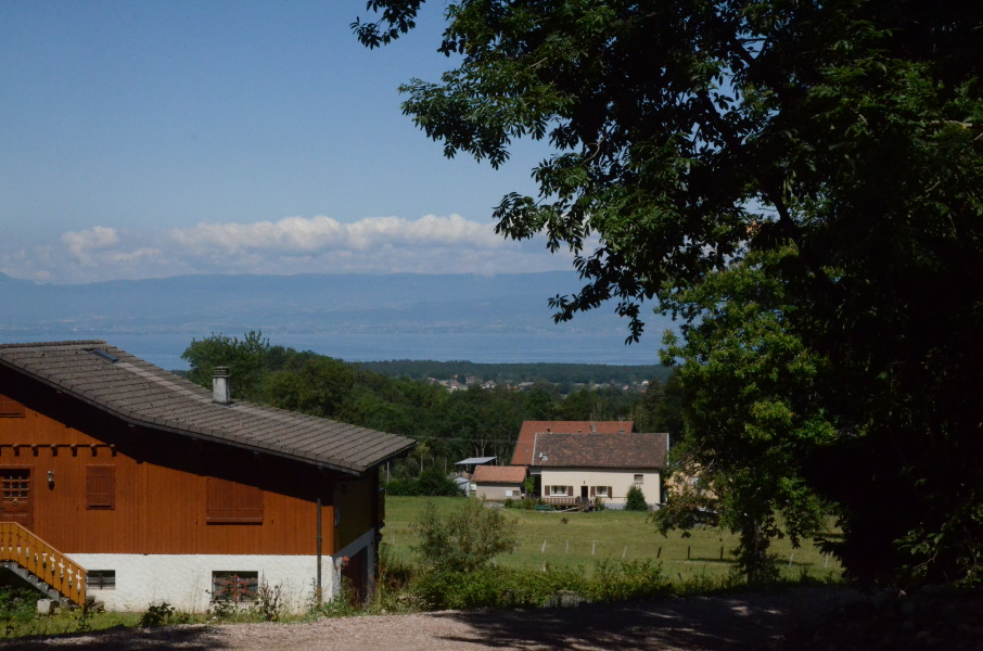
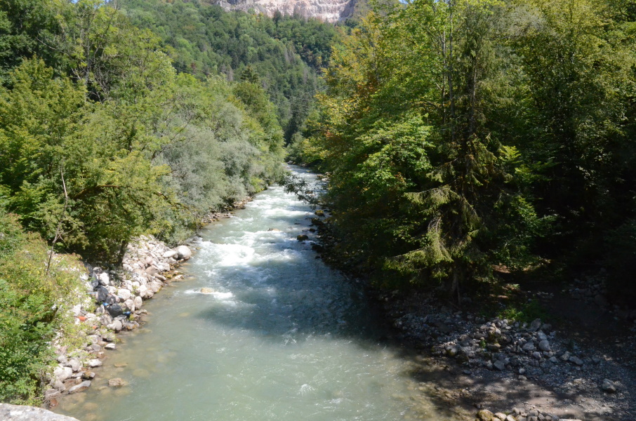
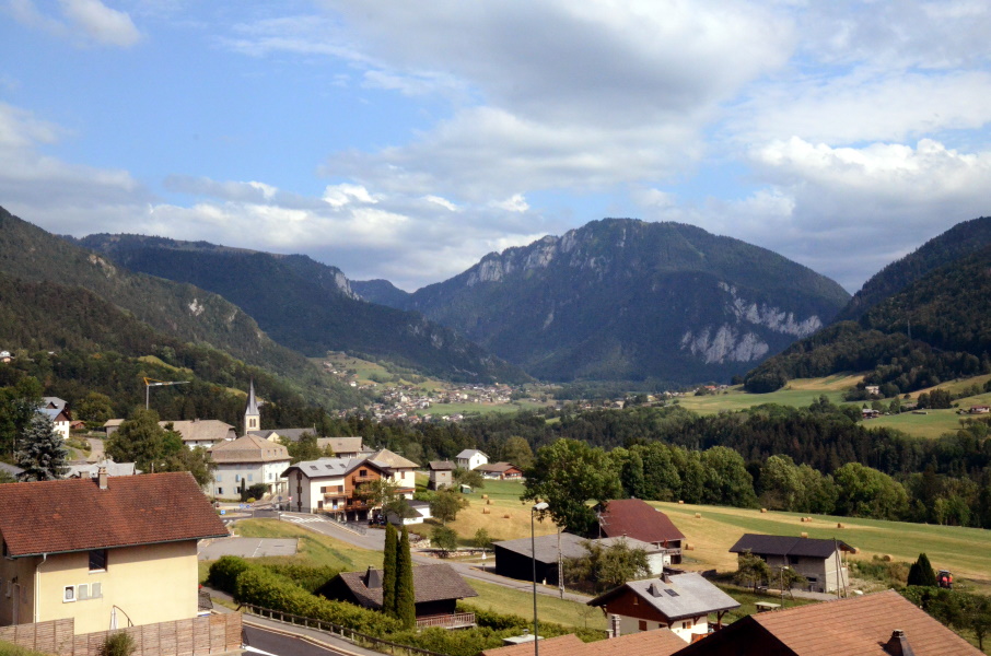
So on our first walking day we park the car at the church in Chevenoz, the end point of today, to catch bus 121 to Thonon. We are about 20 minutes early at the bus stop and we're happy we are because the bus is 15 minutes early. The bus zigzags through tiny villages with a view over Lake Geneva but finally at 8:30 it drops us at the railway station in Thonon. It's time for breakfast part 2 and since the railway station is undergoing some reconstruction we walk towards the town centre to get some croissants from the bakery before we head off. The first part is through town and we notice that some things never change wherever we are on the GR5: within a km from the railway station we already lost the track and by passing through some narrow streets we manage to get back on the GR5. The route almost immediately starts climbing and though it's not that late yet we do sweat a lot already. We gently climb away from Lake Geneva, sometimes in the sun and sometimes in some forest. Pretty relaxed we arrive at Armoy where we have lunch next to the church. From here it goes shortly through the fields before accessing a long section in the forest parallel to the D26 road. This is quite flat and easy walking before descending into Reyvroz. In Reyvroz we have to be careful; the original route has changed due to a landslide a few years earlier and so we find out that now we have to walk north along the D26 before heading east on a tiny local tarmac road. A waste of distance, because we're now making a big loop through Reyvroz while there was a direct way from the forest track down to the D26 and the small local road. In fact, this was for a while (directly after the landslide happened) the temporary GR5. Apparently commerce in Reyvroz complained and so we have to pass through the village again. Anyway, at almost the end of the tarmac road we briefly go into the forest and join the original GR5 track again just before the long descent to Bioge. And a long descent it is, over a rocky trail all the way down what we pretty much have climbed in the last hours. Down at the roundabout where the roads from Thonon, La Chapelle d'Abondance and Morzine meet there is a small rafting centre. Since we're in need of a toilet (and a cold drink) we drop by and have it both. The cold drink goes down sizzling and it almost feels cruel to leave, but we have to pick up the car. And so we move on. We cross the Dranse and then we have to get out of this valley again over an amazingly steep track. Our bad luck is that they have dug a trench in the middle of the track and dumped the soil on either side of the trench, leaving no space to walk. So we slip and slide up a 20% sloping track to get out of this valley. A few hundred meters further we do find out why there is a trench as two workers are laying a cable in it. We pass them and then have to have a break as soon as we see a flat and not-so-dirty piece to sit as our hearts our pounding in our heads. We cool down a bit and slowly climb the last part to the hamlet La Plantaz. Here we have a dilemma: we can take a more northern path to the east or a more southern little tarmac road. According to our booklet the northern on is the real GR5 and the other is an alternative. According to the GPS track is the other way around. The signs along the road just both call them GR5 without mentioning which one is the alternative and which one the main route. Ok, well, then it will be the more souther little tarmac road.... Passing Chez les Girard we see some other walkers, the first ones today. But they have huge bagpacks, respect, we only have our little day pack. We pass them but shortly after we see an inviting tree to have a last break and while sipping our last by now warm lemonade they pass us again. When we continue again 10 minutes later we're sufficiently psyched up to make the last kms knowing that there is still a little climb in it. We join again the other GR5 branch and slowly descend to the small stream L'Ugine. On the other side we see a vertical rock face and we wonder how to get up there. Well, we will find out....after crossing the stream it goes up rapidly and longer than we expected/hoped before we reach the D32 road. We have to cross it and climb a little bit more to Le Crêum;t and this is really with hands and feet to get up to the minor tarmac road. Now it is just a matter of passing the hamlet and descend to Chevenoz. Actually it is quite a descend and knowing that we have to get up here again for the first stage is not making us very happy, but it is the way it is. |
      |
|||
|
|
||||
Download track ThoChe.gpx