


Monday 11 August 2014
| Distance (km) | 16 kms | |||
| Distance (time) | 4 hrs | |||
| Climb / Descent | 429m / 439m | |||
| Hard / Soft surface | 65% / 35% | |||
| Landscape |
|
|||
| Weather |
|
|||
|
|
||||
|
The Friday after our long walk to Vianden we rest. Just because we want to, but also to give some rest to a large blister on my left pinky tow. On Saturday we'll continue, or so we thought. But no, my sleeping matrass dies overnight and on Saturday we first have to go to Trier to buy me somthing I can sleep on. And so little time is left for walking. Sunday the rain pours down the whole day - a good excuse to visit some local wineries, but not for walking.
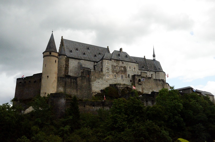
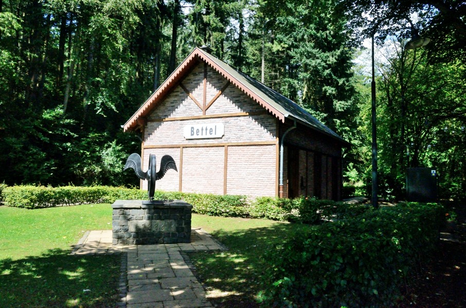
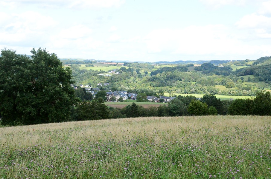
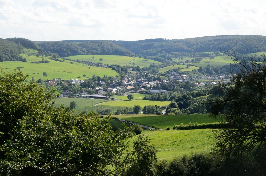
And so it's Monday before we can continue. First by car to Gilsdorf where we take the bus to Vianden and step out at the bridge over the river Our. From here we have to climb up that cobble stone road again to the castle to get to the GR5. And that is quite a climb to start the day. Once at the GR5 it keeps climbing up to a view point. There is a little platform which cannot be reached as some rude Germand parked their cars directly in front to get exlusive access. We shoot a photo of Vianden and we're back on track. For a short while it's tarmac but then we turn an walk on a track, nice and quiet through the forest. We pass a few houses and very gently descend towards Leemkuil, a hamlet with a couple of camping sites on the banks of the Our. At that very moment the only dark cloud to be found in the sky passes and it actually starts raining. But it cannot last more than a few minutes and we decide not to bother to seek shelter. We now walk along a cycle path next to the N10, but where the N10 tighly follows the river the cycle path gentle climbs. We pass the old railway station of Bettel, one of the few remainders of the long ago abandonned narrow gauge railroad from Diekirch to Vianden. After that we descend back again to the N10 that we follow through the village of Bettel. The route today is not very exciting. We leave Bettel and turn right going up to end up in Longsdorf, but not before we had a sandwich at the highest point of the road. Longsdorf, according to the GR5 guide, is not more than a hamlet and ok, it is not big, but for sure more than a hamlet. After Longsdorf it goes up the Kiirchbesh, first tarmac road and then forest track. After we crossed the entire Kiirchbesh in length direction the route descends to the very busy N19. Not the best possible route, because one has to follow the N19 for 200m to get to Bleesbreck and they really drive like crazy here. Luckily between Bleesbreck and the bridge of Gilsdorf there is a sidewalk. And so we enter Gilsdorf until the crossing in front of the church. This is then the end of the Ardennes Section. It looks less glorious then the end of the previous section in Kanne. And this is also where in 2012 we started our "test walk" from Gilsdorf to Born, so we will skip that part. After a last look over the crossing we walk to the car to drive back to the camping site in Born. |
    |
|||
|
|
||||
Download track ViaGil.gpx