


Friday 30 May 2014
| Distance (km) | 20 kms | |||
| Distance (time) | 5 hrs | |||
| Climb / Descent | 452m / 307m | |||
| Hard / Soft surface | 40% / 60% | |||
| Landscape |
|
|||
| Weather |
|
|||
|
|
||||
|
These 2 days we're going to pull a trick, because going up and down with public transport is going to be difficult here considering that in the area of Ouren there are no buses whatsoever and there is nothing crossing the border (with Luxemburg) other than the train. So today we park the car in Troisvierges in Luxemburg from where we take the train to Vielsalm and walk to the camping site that is almost along the GR5. Then tomorrow we walk with all luggage to the Luxemburg border from where we take the bus to the railway station in Troisvierges.
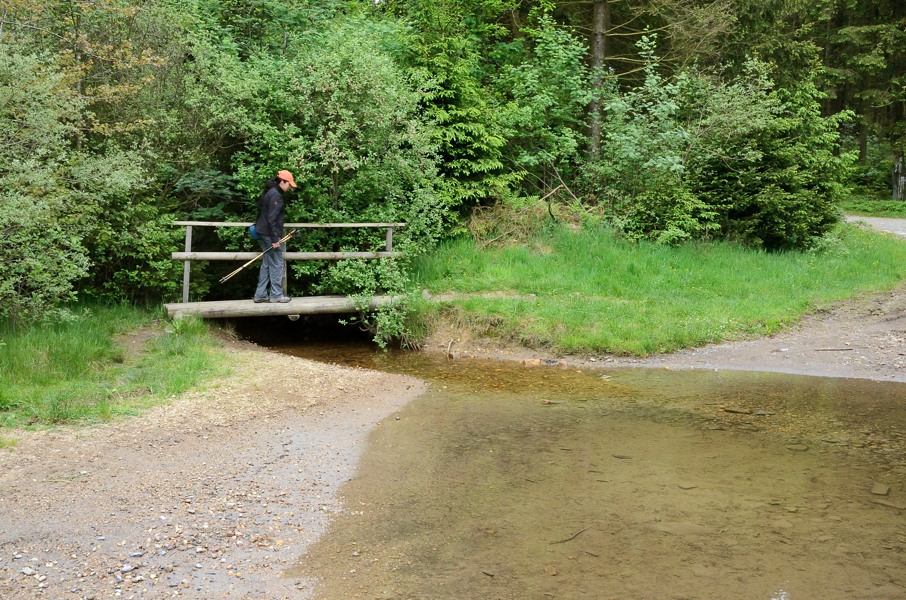
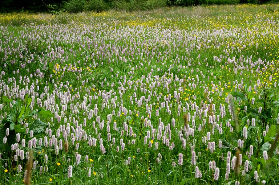
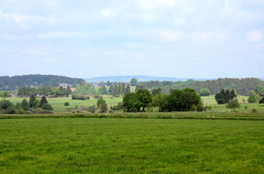
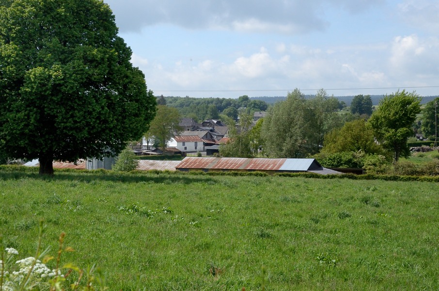
And so we do. Road works in the direction of Luxemburg make it a bit more of a challenge (in the fog) but we do arrive on time in Troisvierges to park the car on the large parking area at the station. We buy 2 one-way tickets to Vielsalm for the shocking amount of 16 euro. "That's a lot for train ride of less than 20 minutes" I tell the guy at the ticket desk. "Yes sir, it would have been cheaper if you would have bought two return tickets and just not use the return" is the answer I get. Eh, hello, couldn't you tell me that earlier? Like before I paid? Grrr. But ok, we arrive 20 minutes later in Vielsalm, still in the fog. From the railway station we walk up in the direction of Neufville and at the roundabout with the N823 we joing the GR5 again. Walking is not so comfortable today since I managed to get a blister on both heels yesterday. My hiking shoes are getting old and the leather on the inside is getting hard, which is becoming noticeable. The road passes in between the last houses of Vielsalm while climbing and then we enter the forest. We almost loop back to the N823 but just before doing so we make a hairpin back into the forest. This is also the highest point of the climb to get out of Vielsalm so from here on it should all be easier. It's a bit rolling up and down today. We first descend gently and cross a small stream at the lowest point after which the path slowly climbs again. It's really not much of a climb and since it is still cold and foggy we don't shed a drop of sweat. At the highest point we leave the track and turn left into the forest, again slowly descending until the next stream. Well, actually the path is the stream here because after the lowest point the water flows in considerable amounts down the path. In the end the path climbs here quite a bit and so we're at the edge of a pine forest at the higest point with a great view on the fields ahead of us. Along the edge of the forest we descend and then enter the fields. Just before Commanster we get back to the N823 main road again. We have to follow this main road a short while into the village. Right before the church a sign announces home made pie and coffee and that seems pretty attractive to so. So we enter the yard but we don't see anything. We're at the point of leaving when a door opens and an elderly man askes us what we're looking for. Well, coffee and pie! That appears to be inside there and we get one of the two tables in the whole place and we ask for coffee and pie. The other tables is occupied by 3 Dutch, it seems to me they're a mother with 2 adult children and they're extensively discussing all family scandals including divorces, people who died and so on. Do they know we understand them? The coffee is good though, the pie even better. After this unexpected stop (according to our walking guide there is nothing in Commanster) we continue to Braunlauf. Until Commanster it was all forest tracks and now the whole distance to Braunlauf is tarmac. In spite of all the nice panaoramas it is a bit disappointing. In Braunlauf there is nothing, which I already knew from past visits by bicycle during several Ardennes tours I made. The last kilometers mostly go up. First leaving Braunlauf along a tarmac road turning into a gravel road after the last farmhouse. The gravel road seems to head straight for the camping site, but then turns right and climbs. It will remain climbing until Schirm, which is not more than a crossing between the N827 and N62 with a few houses. Officially it belongs to Grüfflingen. Now we are are at the crossing along the N62, but the camping site is 1.5 kms to the left along the N62 and that is not a nice road to walk along. However, the camping owner yesterday explained us how to walk: keep following the GR5 a bit more (hence cross the N62 and straight ahead) and then at the T-crossing where the GR5 turns right, we should go left. It climbs a bit and at the next T-crossing we turn right passing a big farm barn. Then follow the gravel road passing a patch of forest, a piece of land where they're erecting a wind mill and then at the next patch of woods turn left at the red-white pole and descend to the N62 to end up straight across the camping site. And it works out....more or less. Our tent is obviously still there but we do miss our seats. They're in the car, though, so nothing we can do about it. |
    |
|||
|
|
||||
Download track VieSch.gpx