


Sunday 16 June 2013
| Distance (km) | 21 kms | |||
| Distance (time) | 5 hrs | |||
| Hard / Soft surface | 25% / 75% | |||
| Landscape |
|
|||
| Weather |
|
|||
|
|
||||
|
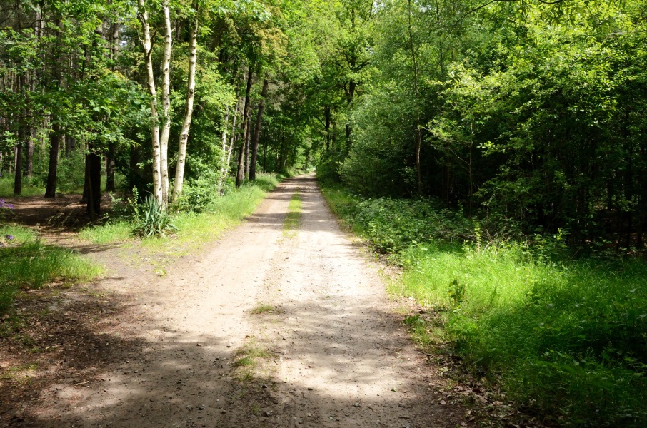
Determined to leave somewhat earlier today we get up on time. But hey, breakfast, packing the tent, have a talk with the camping owner…..and it's 10:30 again by the time we leave the camping site. We again park the car at Noorderkempen and take the bus from there to Wuustwezel where we ended yesterday.
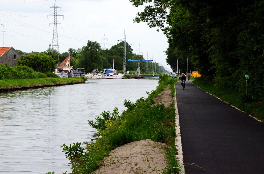
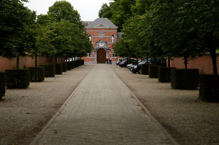
We walk back to café De Ark and continue our route. Where yesterday we had to endlessly walk around and through the village today we leave the village in the blink of an eye: we cross the main road and almost immediately we pass the last houses. The tarmac road becomes a gravel road and then enters the forest. At the end of the road we turn left along a small lake, again a gravel road. The route now crosses the main road from Wuustwezel to Brecht after which in my opinion the best part of today comes. With a long loop we pass around a military zone. The road is just a track, alternating passing through the forest and the fields. Only just before the Noorderkempen railway station the road becomes tarmac again. It's a bit strange to pass the car with still 11 kms to go. At the station building we pass underneath the tracks and the motorway to Antwerp before entering Brecht. We don't really see much of Brecht because the route chooses to pass an alley to get into a park passing the village centre unseen. Getting out of Brecht is a long road bordered by houses. Fortunately halfway that road we turn right passing along the back of the houses. It's a strange combination of street names: first the Duivelsstraatje (little Devil street) followed by the Paepenweg (Pope road). This is also where we feel the first rain drops. Where in the morning the sky with blue it has turned more and more white and now even greyish. It stops dripping soon enough, but we can't imagine this is it for today. A bit further on we get some entertainment by means of local driving skills. A small truck comes backwards out of the road we want to go in so we patiently wait for him. He drives painstakingly slow and moves backwards onto the crossing where we're waiting as if he's transporting a 40 feet container. He goes back and forth one more time (completely unnecessary, there was a lot of space) so that we can continue. All the way since the railway station we're walking on tarmac and after the beautiful first part of today's stage the high expectations have not been have not been fulfilled. The road ends at the Schoten-Turnhout canal where we have to turn right in order to follow the canal until the first bridge that is visible in the far distance. Unfortunately this is kind of a bicycle highway where high speed racing bikes pass us at very close distance. We're happy to make it to the bridge. And this is where the confusion starts, because a marking on the bridge says that directly after the bridge we have to turn right. On the road straight ahead on the back side of a traffic sign there is a cross indicating that's not the way to go and a similar cross is found in the only other possible road. Ok, so we have to turn right. This doesn't coincide with the GPS track provided by Groteroutepaden.be (the authority in charge of signposting the GR5 in Flandres) which is strange. But local signs have priority over books and GPS tracks, so we turn right. After a few hundred meters we see no signalling whatsoever so what do we do? We decided to just follow the GPS track, hence into the road that clearly has a no-go cross. And to our surprise about 50m after the cross….there is a brand new GR5 marking on a tree. So the route changed here and not all old markings have been removed (yet)? We pass in between some big houses and where passing the last houses we have to turn left (the sign is given too early, before the previous road to the left) and then right onto a track through the fields. Finally the long awaited soft track! Since the canal it started dripping again and by now the rain starts to become more serious. Lupita decides to put on her rain jacket but it's still over 20 degrees and to me that is too warm for a rain jacket. So I just get wet. It's a long straight piece through the fields before reaching some curves. At the edge of the forest the track splits in two equal looking tracks. No signposting to be found here, but the GPS claims we should keep left and so we do. Again a long soft track crossing some other tracks without any signposting so we just keep going straight ahead. We're almost convinced we're wrong if finally we see one lonely white/red marker. The track now enters the forest and that's great because it will shelter us from the rain coming down. It's not a lot of rain, but it keeps going. We arrive at the abbey of Westmalle and that's clearly noticeable from the amount of day tourists and parked cars. At the end of the abbey's entrance road is where our bus stop is. We just miss the buss as we actually see it leave when we're still a few 100 m from the bus stop. No problem, busses pass here twice an hour, even on Sunday. We take the first bus to Westmalle and step out in the town centre. At the bus stop there is no indication to be found about the bus to Brecht but a lady that was already waiting when we arrived tells us it will arrive in 20 minutes. Not enough time to get us some chips from the snackbar next to the bus stop and so we wait patiently in the drizzling rain for our bus. Another 20 minutes by bus and we're back at the car to drive home. A pleasant hiking weekend in spite of the unexpected rain at the end. |
   |
|||
|
|
||||
Download track WuuWes.gpx